
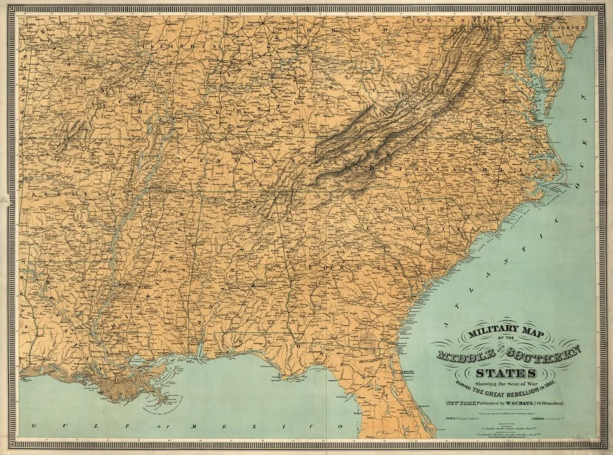
This 1861 military map shows the Middle and Southern States during the Civil War, highlighting the strategic locations and geography crucial to the conflict. Created by J.H. Colton and published by W. Schaus, the map provides detailed insights into the regions involved in the war, including transportation routes and significant cities.
29115 Route 2 N.
Hillsdale, Illinois
Phone Number
The Preeminent Source for Antique Flags.
Your Custom Text Here